We use AI-powered analytics to help cities and road operators identify danger zones, reduce crashes, and design safer streets.
.png?width=4500&height=2700&name=Untitled%20design%20(2).png)

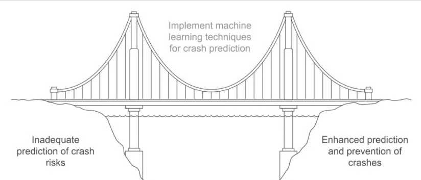
Cities often rely on outdated crash reports, missing real-time dangers and failing to act before the next accident.

Without street-specific risk data, road interventions are reactive, costly, and often miss the real cause.

Dangerous curves, poor lighting, or missing signs don’t show up in stats — but our data sees what others can’t.

Instead of reacting to past accidents, use multi-source data to forecast dangerous zones before they cause harm.
Powered by: Crash history + geometry + traffic + weather + custom models
.png?width=1000&height=600&name=Untitled%20design%20(3).png)
Each high-risk zone includes the top contributing factors and suggested interventions — from signage to structural improvements.
Powered by: Root cause AI model + transport expertise

Hyperlocal analysis shows risks at the street level — curves, crossings, blind spots — not just city-wide trends.
Powered by: Map overlays + dynamic location-based scoring

Gas stations, fast-food drive-thrus, and shopping center exits are often hotspots for repeat accidents — especially when visibility is poor or merges are confusing.
Our system flags these locations using historical crash clustering, AI-driven root cause analysis, and environment context (e.g., signage gaps or lane design flaws).


